Angola Geography
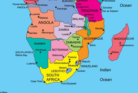
Located on the West coast of Southern Africa, Angola was under colonial rule until November 11, 1975, date on which it became an independent nation. It extends over an area of 1,246,700 Km2.
The country is divided into 18 provinces, being Luanda the capital. With a total of 4,837 Km long borderline, Angola is bordered with Congo-Brazzaville at the Northern province of Cabinda, the Democratic Republic of Congo (former Zaïre) to the North and East, Zambia to the East, and Namibia to the South.
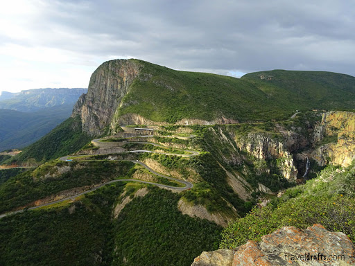
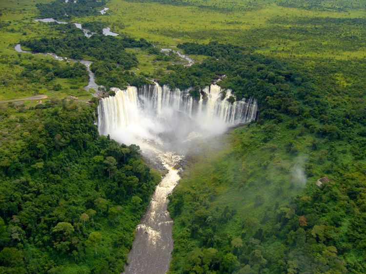
Angola has an Atlantic Ocean coastline of 1,650 Km long. The country’s major ports include Luanda, Lobito, and Namibe. The country’s highest peak is Mount Moco, 2,620 m high, located in Huambo province. With a privileged continental hydrographic system, Angola’s main rivers are Kwanza, Záire, Cunene, and Cubango. Kwanza (Kz) is national currency.