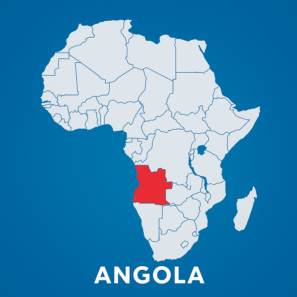
-
Latitude - North - 04°22'G / South - 18°02'.
-
Length - East - 24°05'EG / West - 11°41'.
-
Area: 1,246,700 square kilometers.
-
Length of the Atlantic coast: 1,650 kilometers.
-
Land borders: 4,837 kilometers.
-
Countries bordering the north: Republic of the Congo and Democratic Republic of the Congo.
-
Countries bordering the East: Democratic Republic of the Congo and Republic of Zambia.
-
Countries bordering the south: Republic of Namibia.
-
West: Atlantic Ocean.


